Litchfield National Park
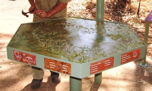
This year NHP worked with Northern Territory Parks & Wildlife. Together we created a 3D relief map of the Table Top Range, the major geological feature of Litchfield National Park. This was installed into a highly visited information shelter at Tolmer Falls within the park.
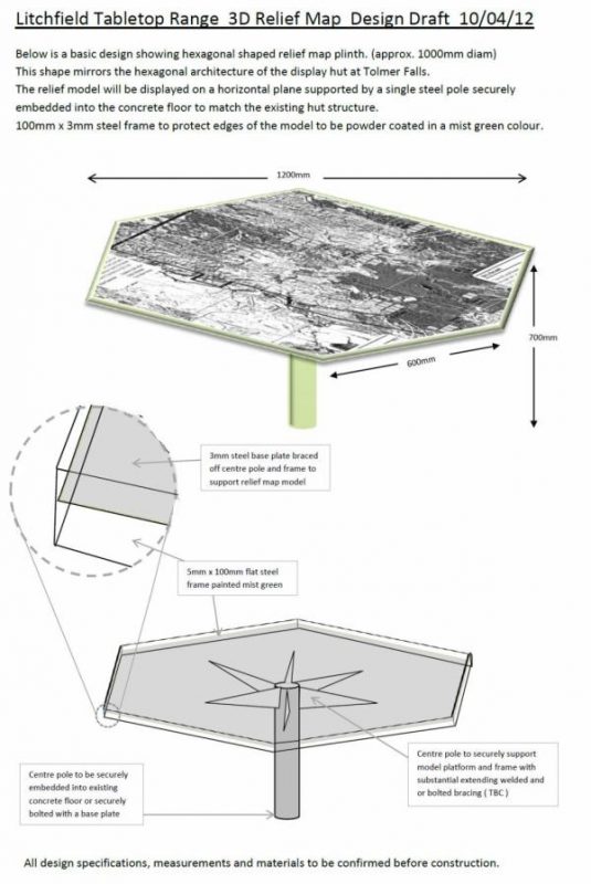
This relief map is 25,000:1 in scale and 1.2m across. It shows accurate details of the Tabletop Range and surrounding floodpains with rivers, roads,walking tracks and 14 locations including waterfalls swimming & recreation areas and historic sites. As a result of the production technique all the contours of the land can be seen. This provides a great topographical feature to the map. It is secured into a custom and powdercoated steel base.
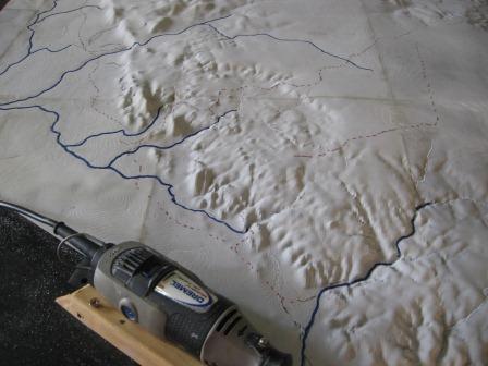
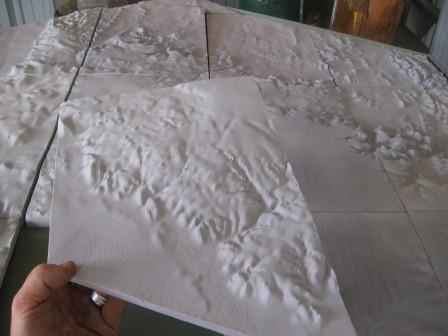
A number of steps were used beginning with sourcing and formatting of geotechnical digital map data, 3D computer printing, moulding/casting and high detail painting and finishing. The base was designed and manufactured then the map was fitted. NHP delivered the whole assebly to the site and installed it into the information shelter.
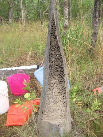
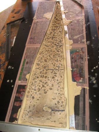
Magnetic Termite Mounds are unique to the the top end of Australia and occur in Litchfield National Park. Working closely with park rangers and interp staff, NHP made a cross section mould of a Termite Mound. This was then intergrated into a panel explaining the complex biology and amazing structures of these tiny insects. This will soon be seen by thousands of visitors at the Magnetic Termite mound shelter in Litchfield National Park. ( more images to come ).
